From São Tomé city
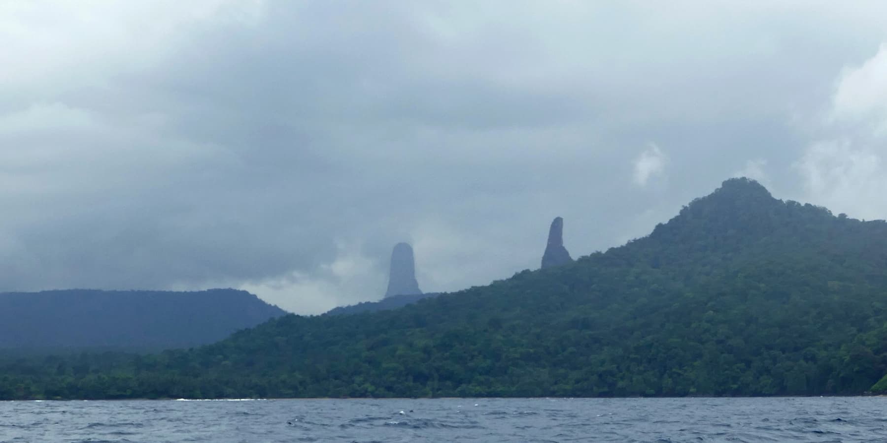
The east-coast road leaves the capital southwards through Santana and Água Izé to São João dos Angolares, then turns inland through plantations past the Cão Grande viewpoint to Porto Alegre. It is paved for most of the way, with rougher sections towards the end.
| To | Distance | Driving time |
|---|---|---|
| Santana | about 12 km | 20 min |
| Roça Água Izé / Boca do Inferno | about 17 km | 30 min |
| São João dos Angolares | about 40 km | 1–1¼ hrs |
| Pico Cão Grande viewpoint | about 60 km | 1½–1¾ hrs |
| Porto Alegre | about 75 km | 2–2½ hrs |
Ways to travel
- Car with driver: the most relaxed way, and almost essential if you want to see everything in a day.
- Self-drive: feasible in a 4×4; allow extra time and do not plan to return after dark.
- Guided tour: see the bookable options.
- Shared taxi: regular as far as São João dos Angolares; beyond it, transport to Porto Alegre is infrequent.
Getting around the far south
The tracks from Porto Alegre to Praia Piscina and Praia Jalé are sandy and rutted, and may need a 4×4 after rain; lodges will often collect guests. Boats for Rolas leave from Ponta Baleia, just before Porto Alegre.
Fuel is not reliably available south of the capital area. Fill the tank before you leave.